

The mountains of Chichibu and Oku-Musashi in Saitama, north of Tokyo,
recede into clusters of lowland hills around the centre of the
prefecture, giving way towards the great Kanto Plain in the east. The
settlement of Ogawa-machi (小川町),
nestled amidst this transition zone, is a historic Japanese
countryside town of about 35,000 people known for its long traditions
of washi paper-making and
sake brewing, both nourished by the area's high-quality mountain
water. In recent decades Ogawa has also emerged as one of Japan's
leading organic agriculture centres, with certain farms gaining high
national profile for their pursuit of sustainable systems in energy,
waste management, and food production.
It was here that I opened my hiking for the year 2015 with this
restful walk through Ogawa's surrounding lowlands and neighbourhoods.
The first half crosses a couple of low peaks overlooking the town,
offering two consecutive 360-degree views for a really not so
demanding climb. The second half winds through the outskirts of the
town and lets you soak in the flavour of its farms, shrines, temples
and peaceful neighbourhoods.


This is an easy walk, about 8km
long, and requires only 3 to 4 hours to complete. There is only one
significant uphill stretch, to get onto the adjacent peaks of
Kannokura-yama (官ノ倉山)
and Sekison-san (石尊山),
both less than 350m high. Do be prepared though for one or two
scrambles down gravelly slopes, including one that involves holding a
chain for support.
To get there, go to Ikebukuro and
take a Tōbu
Tōjō
line express train all the way to the end to Ogawamachi
station, a ride of about 1 hour. Change onto a local train (on the
same line) to go one stop further to Tōbu
Takezawa (東部竹沢)
station. The walk ends back at Ogawamachi station, in the town
centre.
Click the link below for more
photos and route guidance.
From the station, go right
through the tunnel to come out at the West Exit. Turn left, and
follow this road across a railway crossing and the intersection with
National Route 299, going straight on all the way. Keep going through
a neighbourhood of houses and farms, ignoring any turnoffs.
 |
| Something one does not see every day: a car wash in bucolic retirement, perhaps reflecting on its many long years of service. |

After about 20 minutes, you reach
the Sankō Shrine
(三光神社).
 |
| Sankō Shrine (三光神社). |

Passing the shrine on your right,
follow the road a bit further until a sign to Kannokura-yama directs
you left onto an unpaved lane. This goes uphill to Ten'ō-ike (天王池),
“pond of the heavenly king”, and the start of the trail up the
mountain.


Heading up this section,
something very strange happened: some kind of loudspeaker system
suddenly sent the strains of Edelweiss reverberating up the
valley. This was probably one of the more surreal moments in my
Japanese hiking experience.
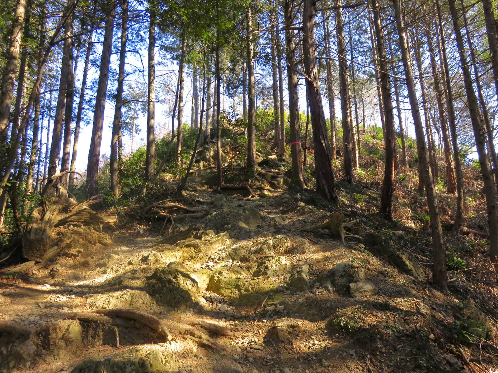
From
here there is a simple climb of about half an hour through the woods.
It is not too steep, and you can take as long as you need. Once at
the top, turn left for one more short climb to the top of
Kannokura-yama (官ノ倉山).

 |
| A purple mystery in the forest... |

There is a nice view at the
summit almost all the way around. In front of you, north, will be the
lowland peaks and towns of this part of Saitama, and in the far
distance some more formidable mountains up in Gunma. Deeper Chichibu
can be glimpsed behind you.

 |
| Two white-capped peaks are just visible in the far murk. Can you see them? |
 |
| Chichibu, in the other direction. |
If
you look to the right, you will see that the other little mountain
here, Sekison-san
(石尊山),
is just next door. Descend towards it and bear left; it is only a few
minutes away. It offers a similar range of vistas, only here you can
look across Ogawa itself. Note the small shrines here too.
 |
| Sekison-san (石尊山). |
 |
| Looking back at Kannokura-yama. |

 |
| Ogawa-machi (小川町). |
 |
| The town centre. The high street runs left to right. The train station is just out of view to the left, though you can see the railway itself. |
Continuing east, you come to a
slightly trickier scramble downhill. It can get steep or gravelly, so
take it slow, especially at the part where there is a chain for you
to hold onto. Fortunately this is the only real technical challenge
of the walk.
Soon
after the path evens out again is Kitamuki Fudō (北向不動),
a small temple installation in the woods.
 |
| Looking back up at the fun chain part. |

 |
| Kitamuki Fudō (北向不動). |
Shortly thereafter the path
emerges into the open. There were some major works going on here when
I did this walk, but essentially you want to go right off the path,
across to the small building in view that is in fact a public toilet.
From here you are back on paved road.


With
that you complete the mountain part of the walk, and proceed into the
outskirts part. At a two-way fork, turn right as signposted for
Chōfuku-ji. Soon after another sign directs you right, across a
narrow bridge and onto a dirt path again. Follow this through a
pleasant bamboo grove, crossing one paved road before emerging onto
another. Turn left onto this and follow it around to the right past
the aforementioned temple, Chōfuku-ji
(長福時).

 |
| This looks like an old warehouse, built out of stone for fireproofing like the famous ones in Kawagoe. |

 |
| Chōfuku-ji (長福時). |
Continuing
up the same road, go left across a bridge then right at a T-junction.
Across to the left will appear a busier road: turn right as you near
it to meet it diagonally, then cross right there and continue up the
lane opposite, following the larger road parallel for a bit. The lane
will curve away up a hill; stay on it but take the left turn just
before it starts to descend again. Along here on the left are the
grounds of the Hachiman
Shrine (八幡神社)
– pop in for a look when you reach the entrance.

 |
| Hachiman Shrine (八幡神社). |


It was around this point that I
was approached for investigation by a curious resident.


Finally,
exit the grounds to the right of the buildings, at a right-angle from
where you entered. There should be a long straight road stretching
ahead of you: follow this all the way, through a large torii
then curving downhill. Turn right at the bottom and head on till you
come to the Seiun
Brewery (晴雲酒造)
on the left, identifiable from its red brick tower. Turn left after
it, heading on through the first traffic lights then turning left
afterwards onto Ogawa's main shopping street. There are some nice and
interesting shops along here to explore if you wish, but when you are
done, Ogawamachi
station (小川町駅)
awaits at the end.
 |
| Seiun Brewery (晴雲酒造). |
 |
| Ogawamachi station (小川町駅). |
For
one last bonus, turn left once you come to the station area and go to
the left corner. You can enter the shop there and purchase some tasty
and relatively nutritious doughnuts made of okara,
or lees, the residue
from tofu production.
I loved reading your posts on hiking in Ogawamachi. Ill use this as my guide!! Thank you!
ReplyDeleteYou are welcome. I am glad that these hiking route articles are still finding use so long after they were written.
DeleteMy wife and I did this hike this morning. Great recommendation and great directions. Donuts were tasty! Thanks for sharing!
DeleteYou're welcome Kevin. Glad to hear that this is still a good walk (and that the doughnut shop is still there).
DeleteYou are welcome! Glad that you liked it.
ReplyDelete